The Rheinsteig is a hiking trail in western Germany and connects the two cities of Bonn and Wiesbaden. With a total length of approx. 312 km / 194 miles, the Rheinsteig leads through the states of North Rhine-Westphalia, Rhineland-Palatinate and Hesse.
This page is intended to help you prepare for the Rheinsteig, be an information platform or simply for entertainment if you want to read a few stories about the Rheinsteig. I have written down my experiences here and hope that they will help you.
The site will be kept up to date and as soon as there is new informations or articles about the Rheinsteig, they will be added here. If you have questions, just use the comment function and I’ ll try to answer them as soon as possible.
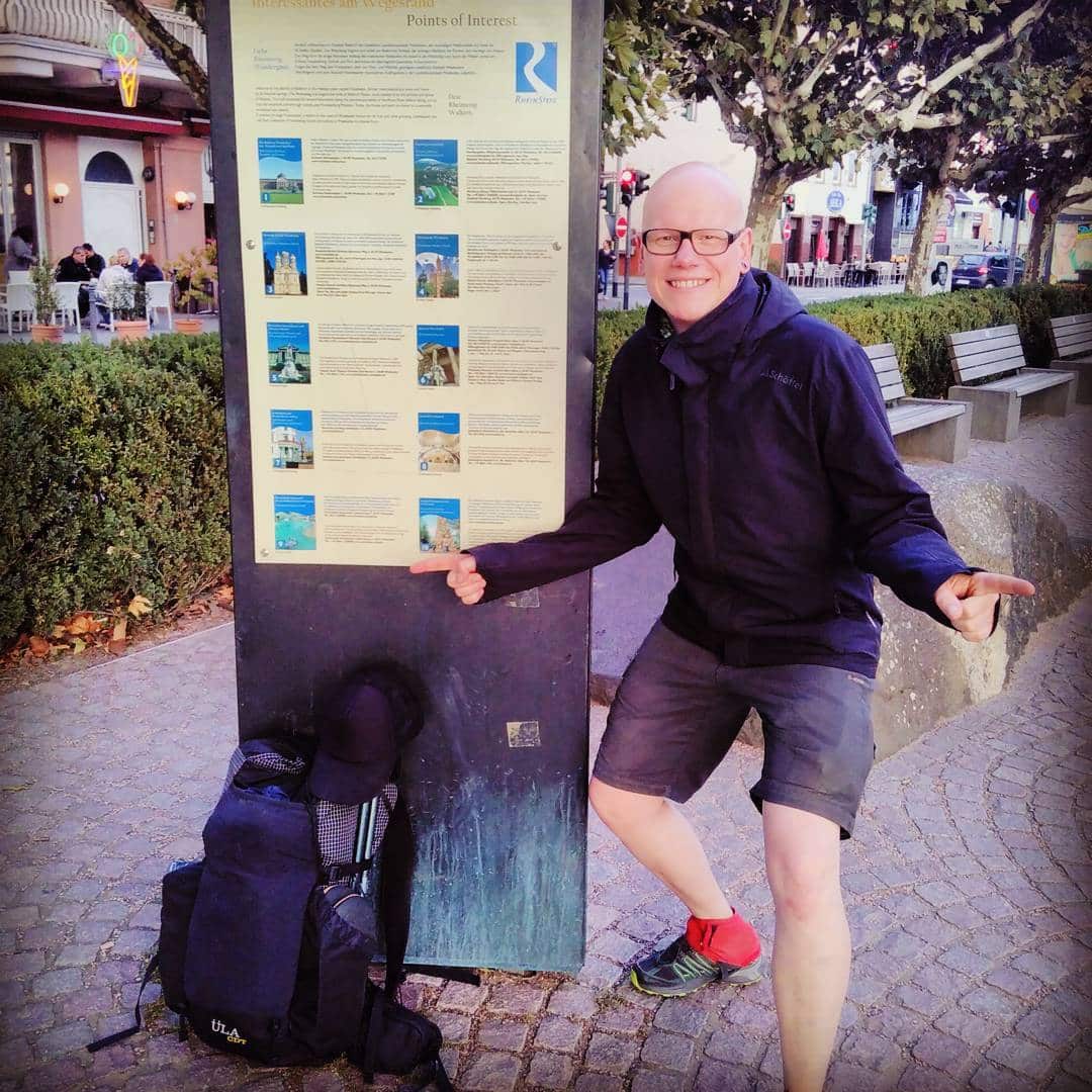
My Rheinsteig Hike
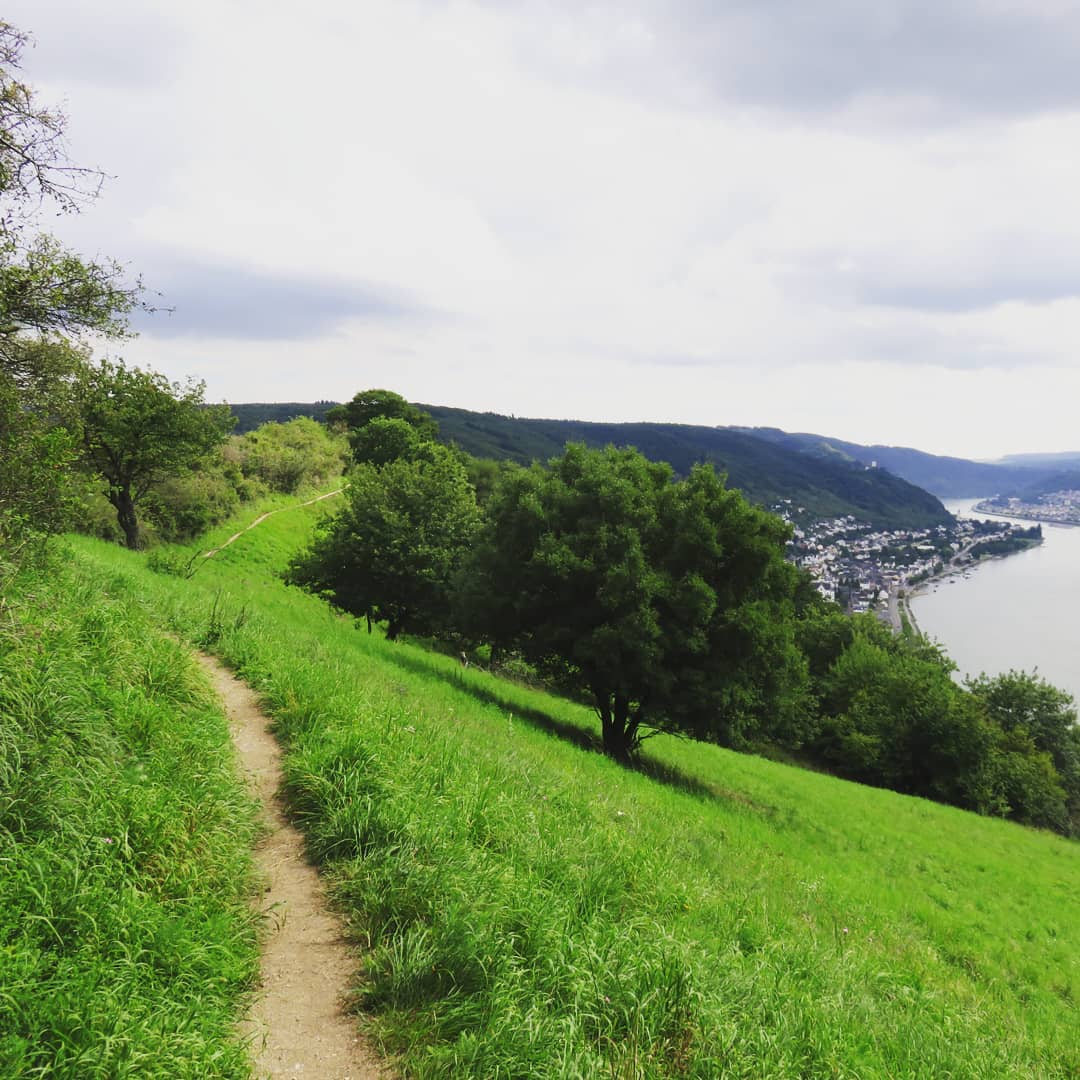
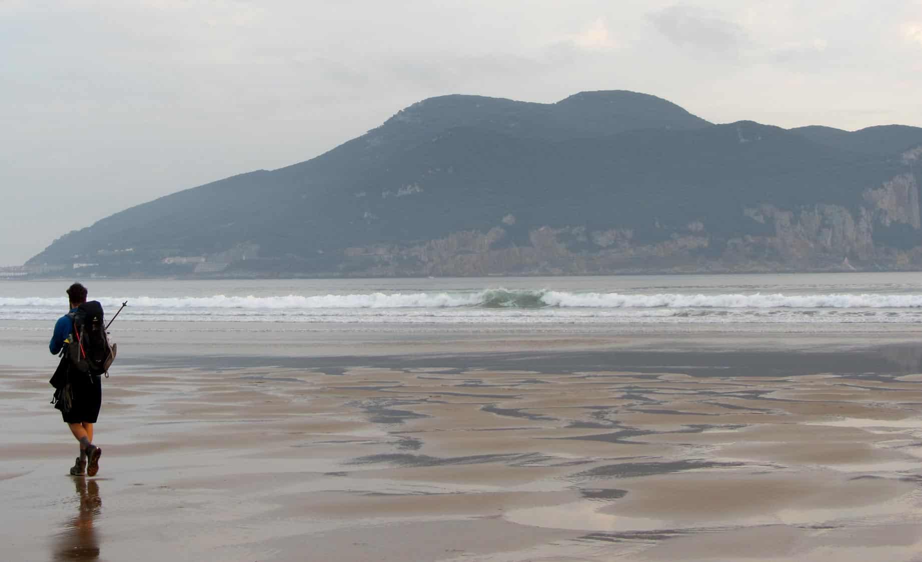
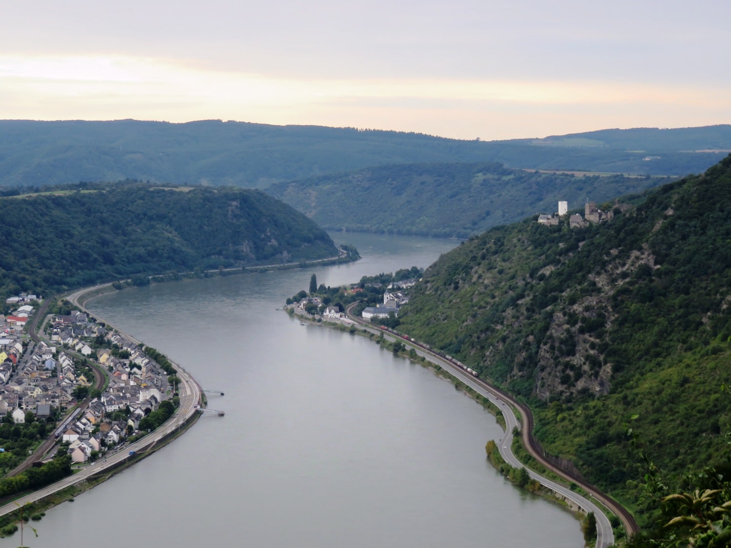
I hiked the Rheinsteig in late summer 2017 from Bonn to Wiesbaden and had beautiful but also hard experiences. The Rheinsteig is mystical, leading through many forests and gorges over vineyards and partly untouched nature along the Rhine.
In addition to many great views and breathtaking nature, it has to be said that the Rheinsteig is challenging and should not be taken lightly. I had this realization more than once.
If you hike the Rheinsteig alone, the loneliness can be exhausting as well as the demanding profile. In two weeks, I’ve met four hikers in total. If you are looking for solitude and a nature experience, the Rheinsteig is just the thing for you.
Stages and Route
I hiked the Rheinsteig southbound from Bonn to Wiesbaden in 13 stages. If this is too fast for you, you can plan for more time without any problems.
Here you can find an overview of all stages of the Rheinsteig.
Rheinsteig Hiking Guide
One of the most important questions in advance: Do I need a hiking guide?
I actually walk all my paths with a hiking guide and also had one with me on the Rheinsteig. The Rheinsteig is very well signed in itself, but in order to be able to plan the stages better, I recommend taking a hiking guide with you. I had the hiking guide from Conrad Stein Verlag* with me and was very satisfied with it.
Last update on 2024-04-18 / Affiliate links / Images from Amazon Product Advertising API
Unfortunately there is no english hiking guide for the Rheinsteig, but with the GoogleTranslator App you can also use the german travel guide very well.
Arrival and Departure
Bonn: Depending on the distance, you can travel to Bonn by bus, train, plane or a car-sharing opportunity.
- Take the train to Bonn main station. Afterwards, you can reach the starting point of the Rheinsteig at the old Bonn Town Hall on foot in a few minutes.
- Take the bus (for example Flixbus) to the long-distance bus stop “Museumsmeile” on Joseph-Beuys-Allee. From there it is a few minutes to the stop “Heussallee/Museumsmeile”. Here you can take the tram lines 66 direction “Siegburg Bf” and 63 direction “Brühler Str” to the stop “Universität/Markt” and walk from there to the starting point at the old town hall.
- By plane you fly to the airport Köln/Bonn (CGN) and take the shuttle bus SB60 direction Bonn to the stop “Markt A”. Here you get out and stand directly at the old town hall.
- With a car-sharing opportunity you can also travel comfortably to Bonn. This is where BlaBlaCar comes in.
Wiesbaden: Depending on the distance, you can travel to Wiesbaden by bus, train, plane or carpool.
- Take the train to Wiesbaden main station. From there it is just 4.5 km / 2.8 miles on foot to Schloss Biebrich, the southern starting point of the Rheinsteig.
- Take the bus (e.g. Flixbus) to the bus station, which is located directly at Wiesbaden main station. From here it goes then also on foot to the castle Biebrich.
- By plane you can fly to Frankfurt airport and take the S8 or S9 to Wiesbaden main station. The journey takes between 49 and 56 minutes. From there it goes again on foot to the castle Biebrich.
- You can also travel comfortably to Wiesbaden by using a carpool. This is where BlaBlaCar comes in.
Shopping
There are shopping possibilities on almost all stages of the Rheinsteig, even if you have to leave the Rheinsteig. However, with a few metres of detour, one finds in most small towns an Aldi, Rewe, Netto, Edeka or other supermarkets. On Sundays all shops are closed and it is advisable to have enough water and food on the stages.
Best Hiking Time
Many hiking guides say that the Rheinsteig can be done in all seasons. However, since there are also climbing areas that are wet and slippery even in the summer, I would advise against hiking the entire Rheinsteig in the winter. The Rheinsteig can be completely walked in spring, summer and autumn.
Accommodations
Hotels: At the end of all stages there are accommodations, guesthouses and rooms, but most of them are very expensive. Here you should plan 50 – 95€ per night.
Youth hostels: Alternatively, there are youth hostels which are particularly recommended in the federal state of Rhineland-Palatinate. In this case, a membership at the German Youth Hostels (DHJ) is necessary. Membership (valid for all youth hostels in Germany) can be taken out locally, costs a one-time fee of approx. 23€ and is valid for one year. In addition there is the price for the overnight stay in the youth hostel, which costs about 15 – 20€. As there are several youth hostels on the Rheinsteig, this is an inexpensive alternative.
IMPORTANT: Cancel your membership after the hike, otherwise it will be automatically renewed for another year after the first year.
Camping: There are a few campsites on the Rheinsteig, which also cost around 15€ per night. Wild camping is not officially permitted in Germany. But if you ask people or a hotel nicely if you can use their garden for camping, they usually won’t mind. If you don’t make the daily stage and have to camp in an emergency, tolerance should be shown if someone finds you. Again, don’t leave any garbage behind and leave the place if possible better than you found it in.
Waymarking
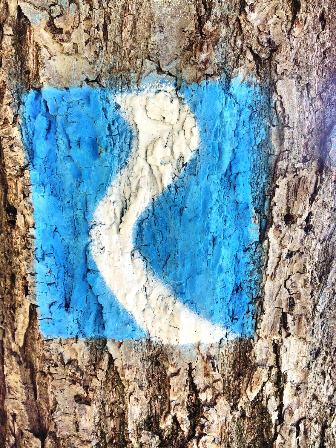
The Rheinsteig is very well signposted, so that one cannot get lost. However, since it can happen that you are lost in thought or in a conversation, you should always look out for the Rheinsteig symbol. A white winding line representing the Rhine on a blue background. There is also the symbol with a yellow background – these are the paths to the Rheinsteig.
I hope I could give you with this article a small insight to the Rheinsteigs. If you liked this article, I’m happy about a Like, a heart or a smile on your face. If you have questions, suggestions or criticism, I look forward to your comments.
Best regards, Martin